get_flomped

joined 7 months ago
[–] [email protected] 2 points 4 hours ago

Currently no. I really like Dawarich for this purpose and I feel like I wouldn't be able to add much.


Hey everyone, wanderer recently celebrated it’s 10th anniversary. Well, as far as minor versions go at least.

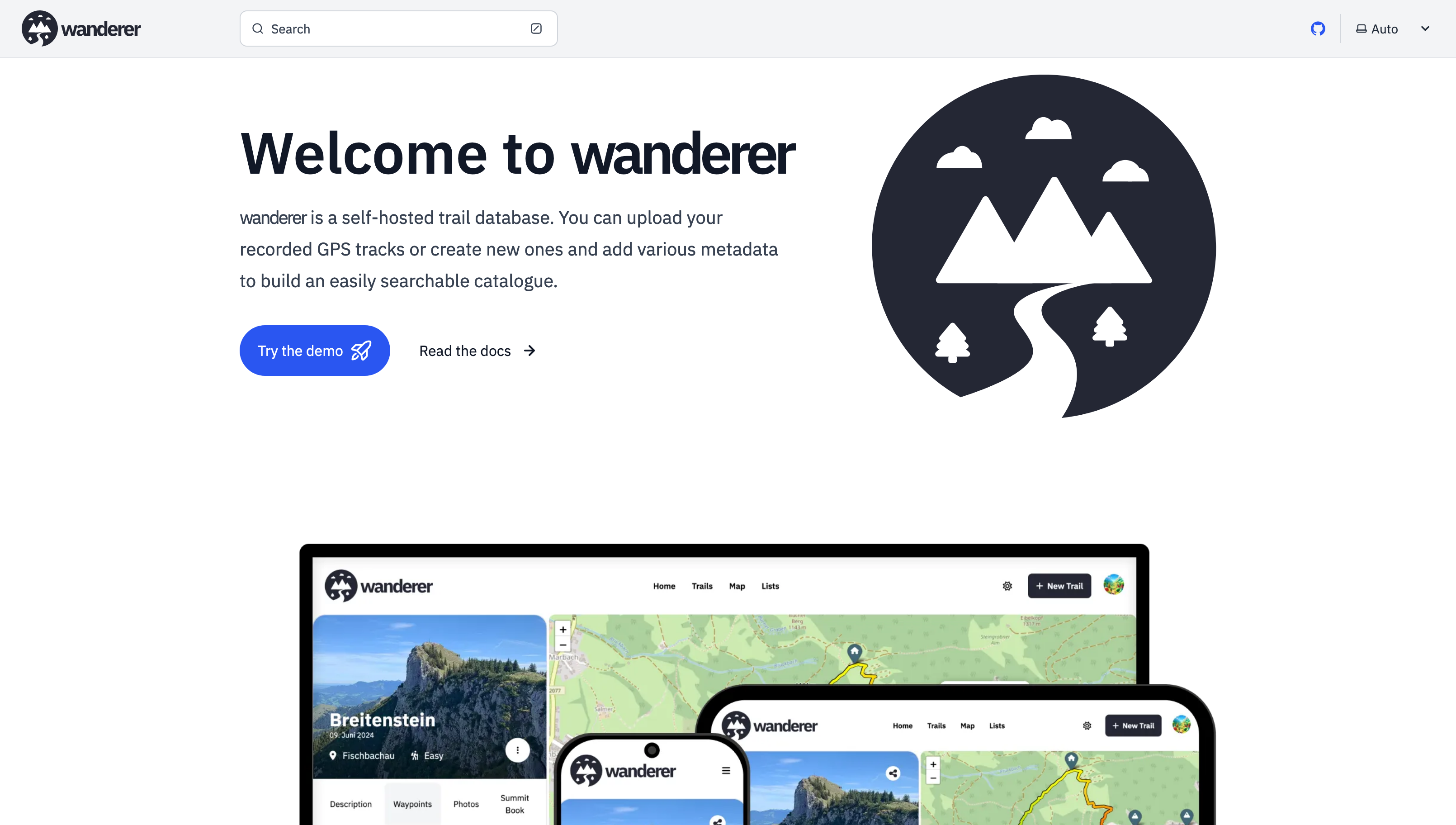
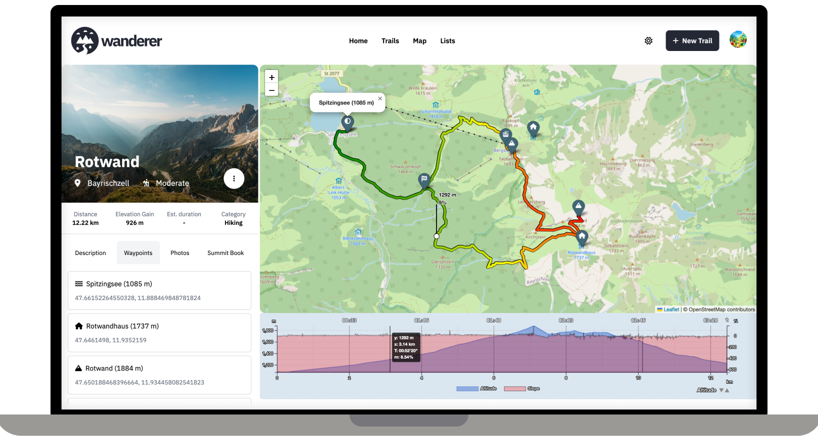
First and foremost: What is wanderer? wanderer is a self-hosted GPS track database. You can upload your recorded GPS tracks or create new ones and add various metadata to build an easily searchable catalogue. Think of it as a fully FOSS alternative to sites like alltrails, komoot or strava.

Next: Thank you for almost 1.2k stars on GitHub. It’s a great motivation to see how well-received wanderer is.

By far the most requested feature since my last post was the possibility to track your acitivities. This is now possible on the new profile page which shows various statistics to help you gain better insights into your trailing/running/biking habits. Lists have also received a major upgrade allowing you easily bundle a multiday hike and share it with other users.

If you want to give wanderer a try without installing it you can try the demo. When you are ready to self-host it you can head over to wanderer.to to see the full documentation and installation guide. If you really like wanderer and would like to support its development directly you can buy me a coffee.

Thanks again! Cheers Flomp

[–] [email protected] 1 points 4 months ago

Ah yes, sorry, the upload is currently capped at 5MB. You can change that limit in the PocketBase backend. I will add a guide to the docs.

[–] [email protected] 2 points 4 months ago (4 children)

Happy that you got it working. What exactly does not work with the photos? Fell free to open a GitHub issue, if that's easier.

[–] [email protected] 1 points 4 months ago

I really love working with PocketBase. It gives you such a headstart, but also is highly customizable. It's really the best of both worlds.

[–] [email protected] 3 points 4 months ago

I don't know the app. But on the linked page it says it supports GPX and KML. Both of which wanderer supports.

[–] [email protected] 3 points 4 months ago

Exactly! As long as you have the track in a GPX, TCX or KML file, you are good to go.

You can also plan your route directly on wanderer (so you don't fall off another cliff ;))

[–] [email protected] 2 points 4 months ago

Thanks! No this is an extremely low spec server: 2GB RAM and 2 virtual cores.

[–] [email protected] 1 points 5 months ago (3 children)

Or use the demo ;)

[–] [email protected] 11 points 5 months ago (2 children)

Cool! I always recommend OsmAnd.


Hey there,

it's been a while since my last post. Since then - with the help of this awesome community - I have added multiple new features and fixed a lot of bugs.

Most importantly there is now a working demo alongside a shiny new landing page.

And here are some more fun features I added since then:

  • Trail drawing: in addition to uploading you GPX, TCX or KML files, you can now also simply draw a trail by defining multiple waypoints. The route between them will be calculated automatically.
  • Sharing trails: simple and straightforward - you can share your trails with other users and let them view or edit.
  • Printing trails: there is now a dedicated print view. Plan your adventure digitally and then take it with you on paper.
  • wanderer is now available in 8 different languages (thanks to translators from the community). If you would like to contribute a translation you can do so here.
  • You can now bulk upload multiple trails at once simply by putting them in a dedicated auto-upload folder

And much more. I'd be happy if you give it a try in case you haven't yet.

GitHub repo: https://github.com/Flomp/wanderer

[–] [email protected] 18 points 7 months ago (1 children)

With docker you can simply change the port mapping in the compose file

[–] [email protected] 3 points 7 months ago

That's strange, I never had that happen. If you have the time could you please open an issue on GitHub?

[–] [email protected] 4 points 7 months ago* (last edited 7 months ago)

Absolutely all help is welcome. Please check out the roadmap for my current plans. I'd be delighted if you could add your Dutch translation here: https://translate.codeberg.org/projects/wanderer/wanderer/nl/

Dank je wel!


Over the last two months, I developed wanderer. It is a self-hosted alternative to sites like alltrails.com or in other words a self-hosted trail database. It started out more as a small hobby project to teach myself some new technologies but in the end, I decided to develop it into a fully-fledged application.

Core Features:

  • Manage your trails
  • Extensive map integration and visualization
  • Share trails with other people and explore theirs
  • Advanced filter and search functionality
  • Create custom lists to organize your trails further
  • Chique design with a dark and light theme
  • Fully mobile compatible

wanderer is completely open-source. You can find the GitHub repo here: https://github.com/Flomp/wanderer

wanderer is still under active development so if you encounter any bugs/errors or have suggestions please let me know here or open an issue on GitHub.

view more: next ›